
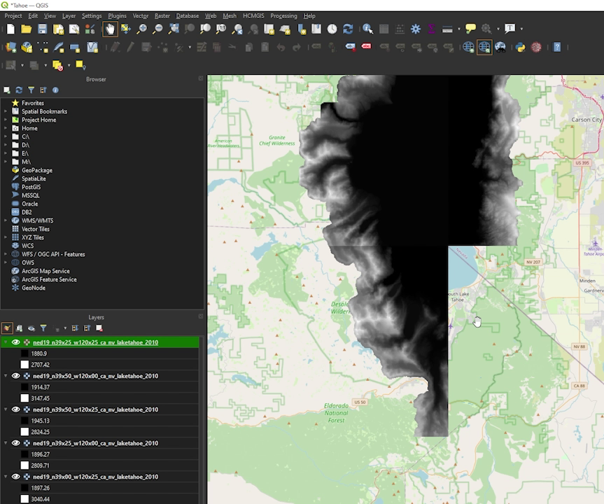
QGIS is a free and open-source software that lets you work with maps and geographic information. It’s great for everything from simple map design to complex spatial analysis, supporting various data formats. With QGIS, users can customize their tools and add new features through plugins, enhancing its capabilities to fit more specific tasks. You can find more about QGIS and download it from their official website. If you’re looking to learn how to use QGIS, this tutorial offers a comprehensive guide to getting started.
Terragen is a tool designed for crafting highly realistic environments, perfect for creating lifelike terrains, skies, and water scenes in digital formats. It’s used extensively in visual effects and photography to generate natural-looking landscapes that feel almost real. The level of detail and control over environmental elements like weather and lighting conditions makes Terragen invaluable for artists and filmmakers. You can explore more about Terragen and get the software from their official website. For those interested in diving deeper, this series of tutorials can help you master its features.
Combining QGIS and Terragen offers a unique workflow for digital world-building. Starting with the precise geographic data from QGIS, you can shape the initial outline of a landscape. Then, by transferring this data into Terragen, you transform these outlines into rich, detailed 3D environments. This synergy allows creators to develop highly accurate and visually stunning scenes, perfect for everything from scientific visualizations to fantastical settings in video games and movies. This integration showcases how combining different tools can lead to innovative and exciting outcomes in digital creation.
CAD